Terry Holter: Delta Views
This exhibit of images represents a selection from an ongoing three-year documentation of the Delta by photographer Terry Holter. The Sacramento-San Joaquin Delta region is an approximately 1100 square mile area. It is supplied by the Sacramento River at the north end and the San Joaquin River to the southeast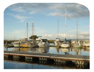 . Its roughly triangular boundaries encompass Sacramento to the north end, reaching down just past Tracy at the South East corner, and running across into the San Francisco bay at the South West corner near Pittsburg.
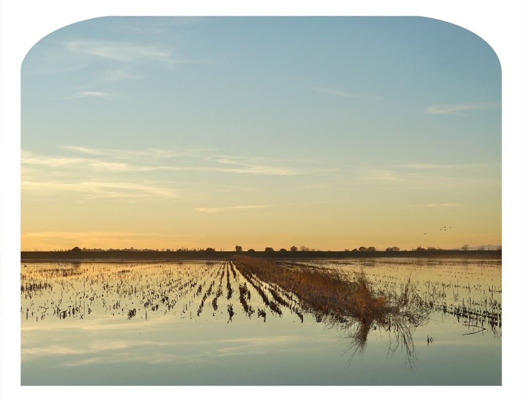
Since the mid-19th century, this natural inverted river delta has been transformed through a series of man-made levees into islands of fertile agricultural land. Besides agriculture, its uses include transportation, recreation, hunting and fishing, natural habitat (important especially for migratory waterfowl), and urban development. Historic towns within the Delta include Locke, Walnut Grove, and Isleton. Half of the water needs of California’s human population depend on the Sierra waters flowing through the Delta.
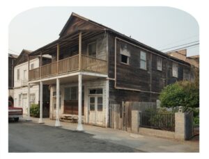 The Delta is a region with competing pressures on it; either to maintain or to transform its physical terrain. Even in the short period of this survey, some of the features and human additions to the landscape have transformed or disappeared since the project began (eg. some favorite landmark trees toppled or cut down, the long-standing Giusti’s Restaurant was gutted in an accidental fire, areas newly cleared for development). Documenting its present landscape for the historical record was a compelling priority built into the project. The format of the dome-topped images in the exhibit refers to the landscape views of California’s past.
The Delta has its own unique beauty and timeless quality to the careful observer. The photographic views offered here in this show are just a small sample of what the Delta offers to those fortunate enough to experience her hidden treasures.